00 cm
00 cm  live
live  map
map Hiking
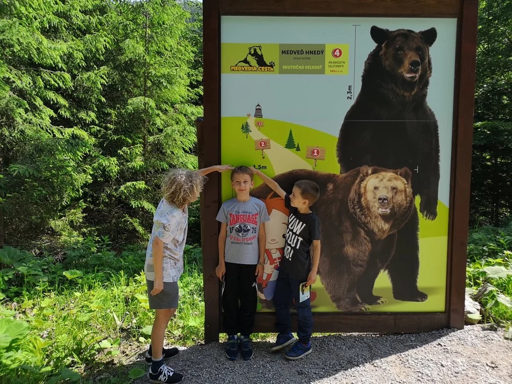
Educational trail Bear path
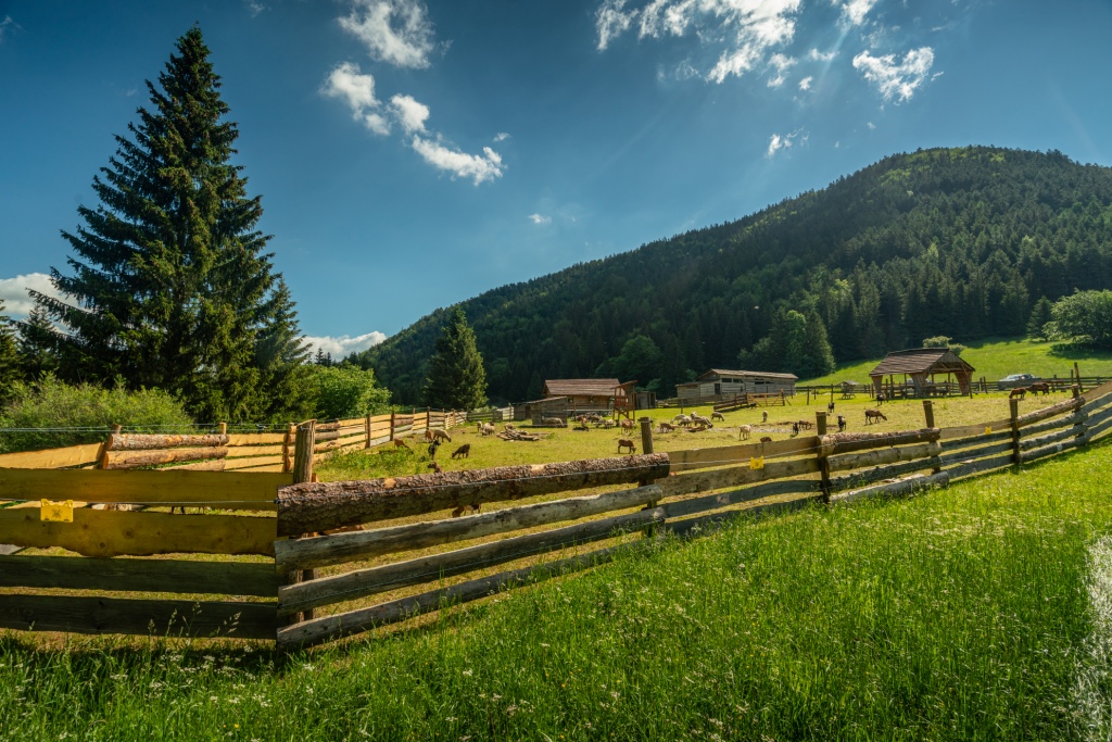
- 1.Malinô Brdo – Mini Farma Sidorovo - Hrabovo /EASY DIFFICULTY/
Route: 4.6 km along an asphalt road and educational trail - Descent: 432m.
- Time 1:26 h.
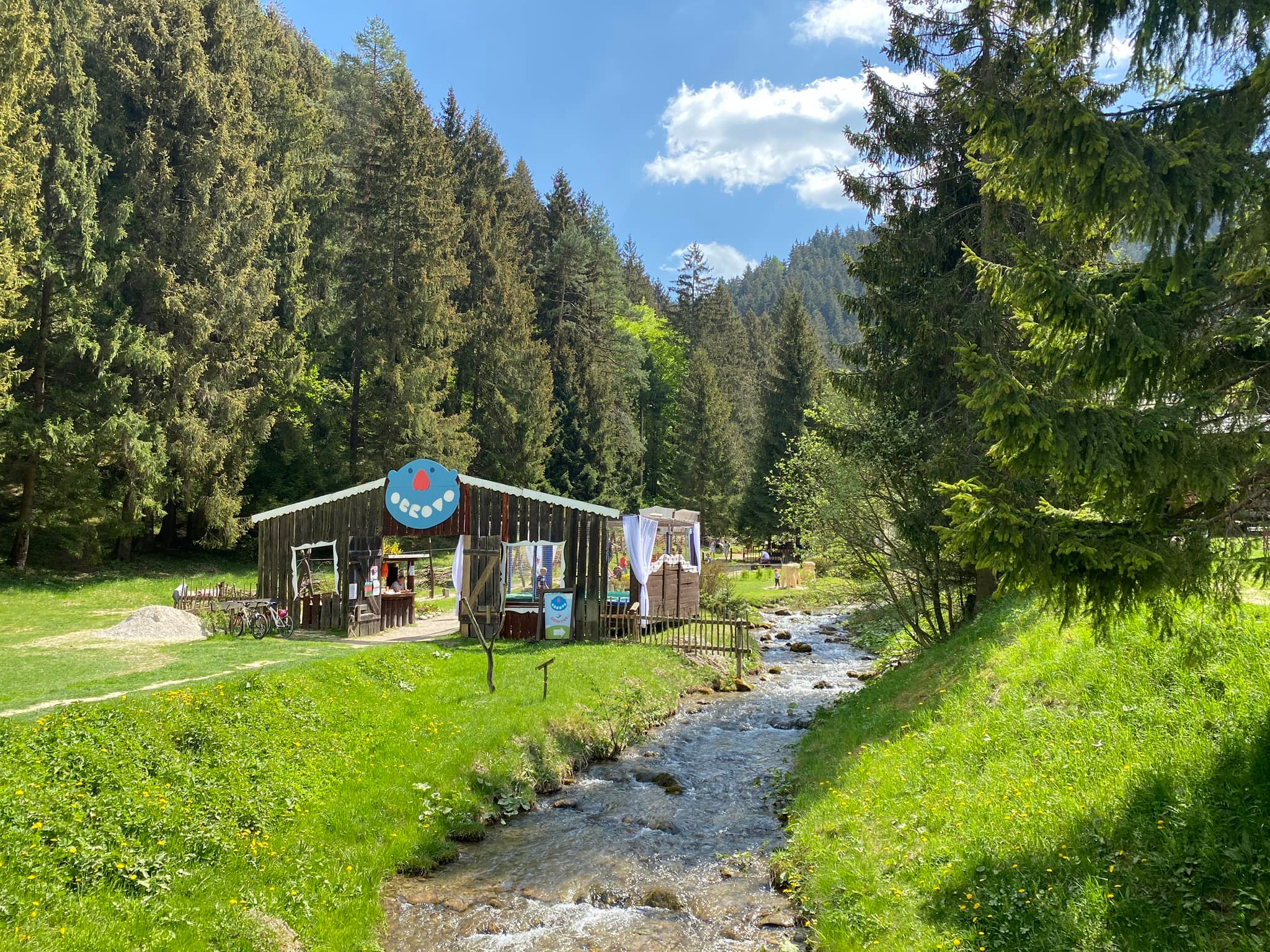
A trip by cable car to the resort, where a short 20-minute walk will take you to the Sidorovo Mini Farm, where you can find animals and refreshments during the summer. You continue to Hrabovo along the Bear path educational trail.
Giant's Causeway
- 2. Malinô Brdo - Hrabovo - Čutkovo /EASY DIFFICULTY/
Route: 6 km along the tourist and educational trail Vlkolínec - Ascent 91m. and a descent of 476 m.
- Time: 1:51 h.
Take a trip and learn something about nature with the little ones on the Bear path Educational Trail and continue with the entertainment program along the Giant's Path to the Čutkovska Valley.
Trip to Vlkolínec
- 3. Malinô Brdo - Vlkolínec - Krkavá skala - Zápalkáreň /LOW DIFFICULTY/
- Route: 6.7 km along the tourist and educational trail Vlkolínec
- Ascent 55m. and descent 171m.
- Time: 2:06 h.
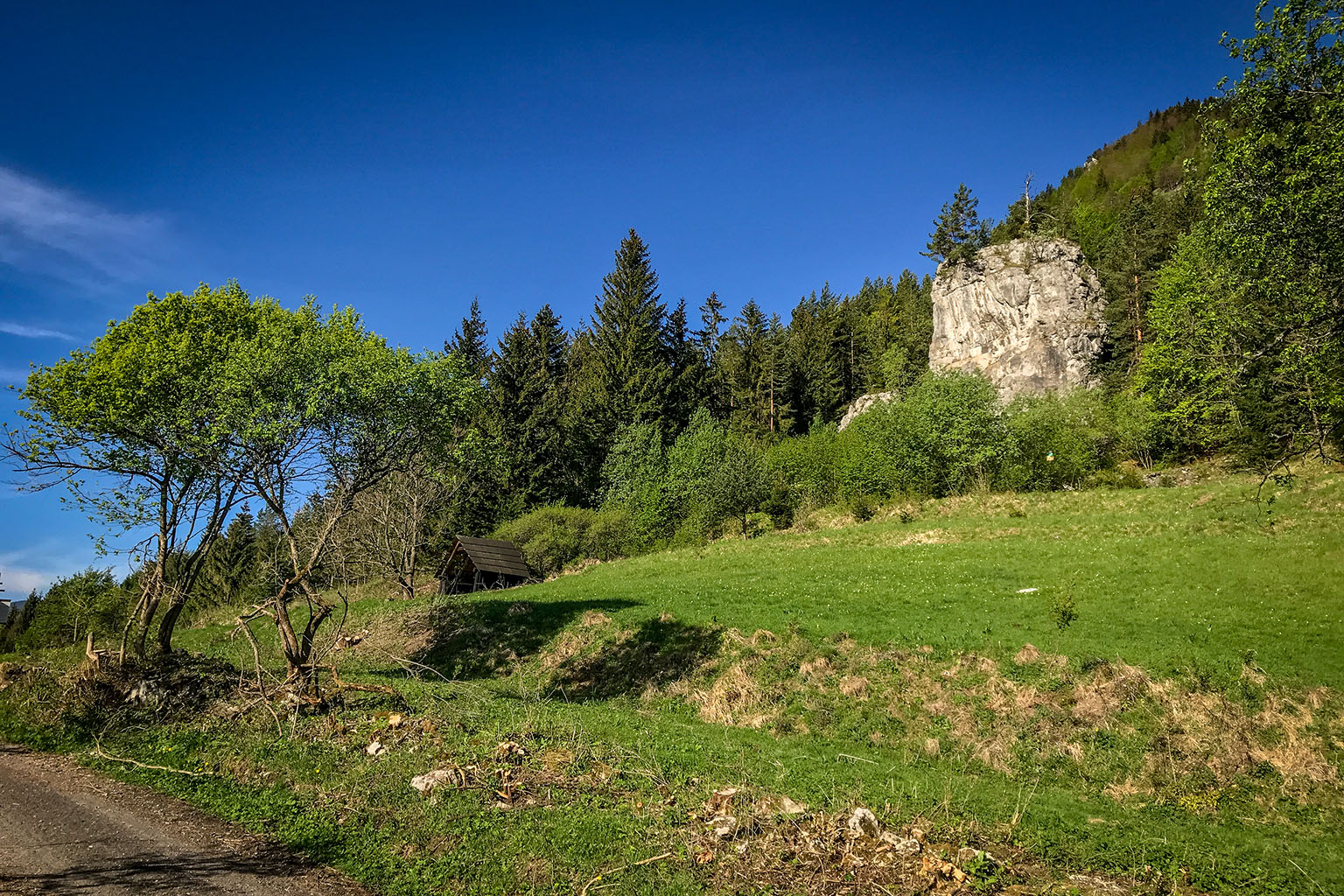
And on the way to the city, you must not miss Krkava skala, a 22-meter high rock needle. The route ends at Zápalkárni, where you can find refreshments and from there you can transfer to the city on the Korýtek (historical train), which will take you to the Ružomberok bus station. Route map
More info on the trip to Vlkolínec
View of Sidorovo
- 4. Malinô Brdo – Sidorovo view (Unesco protected view no. 8) /HARD DIFFICULTY/
- Route: 6.6 km along the hiking trail
- Ascent 260 m., descent 171 m.
- Time: 2:30 h.
Take a bird's-eye view of Vlkolínec from the Sidorovo viewpoint, to which the Vlkolínec Educational Trail leads, and continue along the hiking trail following the red sign all the way to Hrabovo. Along the way, you will also discover the Veľká skala view.
Panoramic views from the top of Malinné - a shorter route
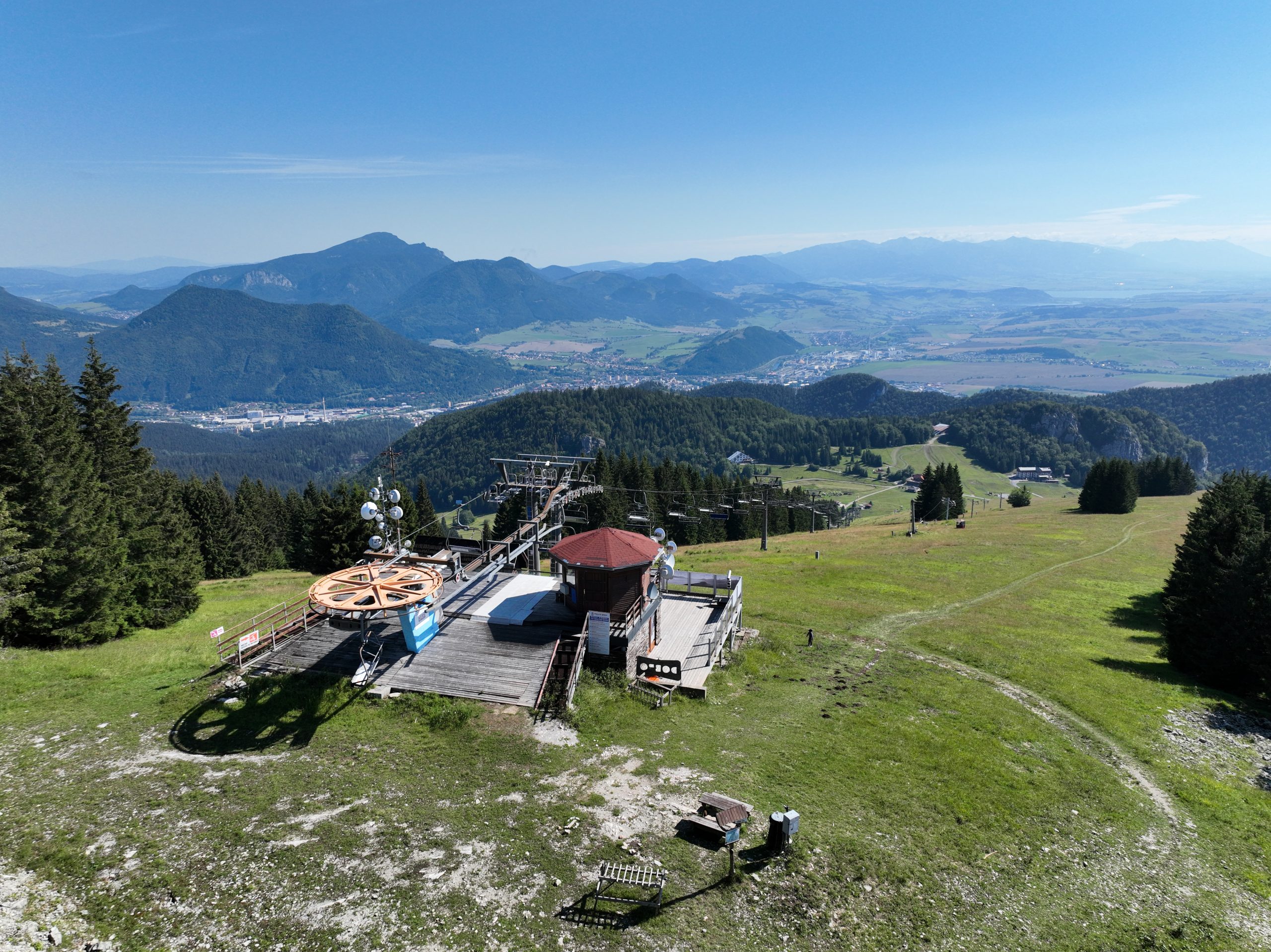
- 1.Malinô Brdo - Malinné 1209 m.n.m. - Malinô Brdo /HARD DIFFUCULTY/
- Route: 2.7 km along the slope
- Ascent 272m. descent 278m.
- Time: 1:16 h.
Make a hiking trip for the views up to the top of Malinné, from where you will have Liptov in the palm of your hand.
Trip to Vlkolínec
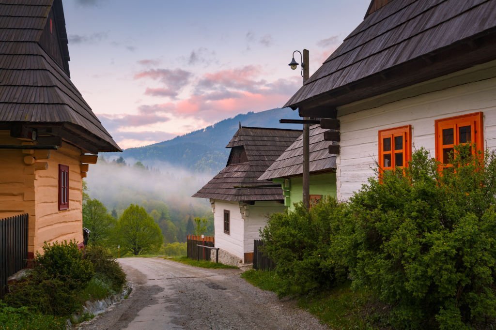
- 2. Malinô Brdo – Vlkolínec – Malinô Brdo /LOW DIFFICULTY/
- Route: 4.8 km
- Ascent 286m. and descent 276m.
- Time: 2:00 h.
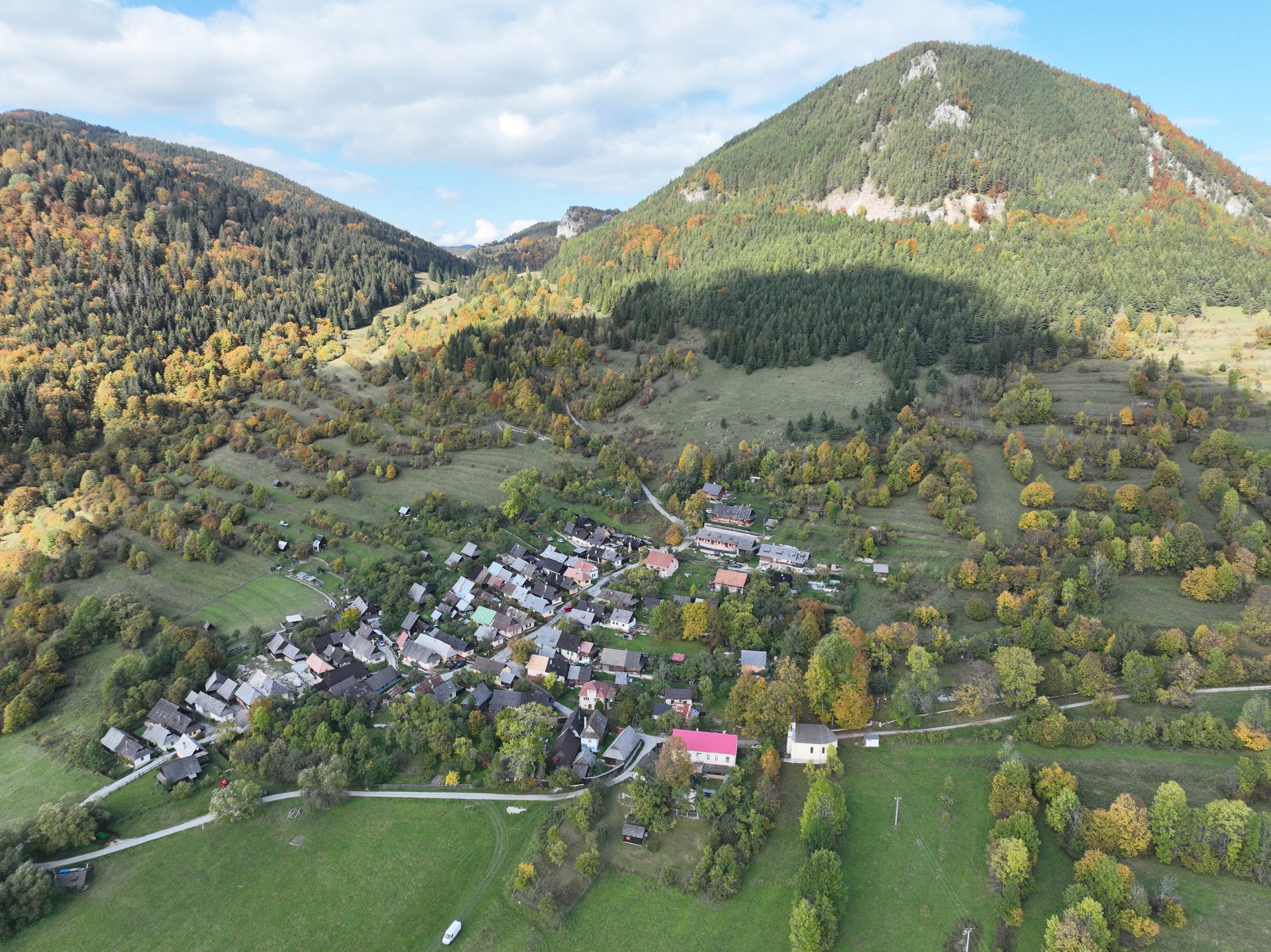
Vlkolínec has been included in the list of UNESCO Cultural Monuments for more than 30 years, and here you can find not only typical architecture, but also a Gallery and a museum that describe the life of our ancestors in more detail. The route can also be completed by bicycle. The trail leads along a natural rocky and meadow path and is suitable for more advanced cyclists.
Panoramic views from the top of Malinné - longer route
- 3.Malinô Brdo - Malinné 1209 m.n.m. - Malinô Brdo/HARD DIFFICULTY/
- Route: 6.3 km ascent 429 m. descent 428m.,
- Time: 2:40 h.,
Take a hiking trip with panoramic views of the High and Low Tatras, which you can enjoy from the top of Malinné. You climb to the top via the ski slope and go down along the Suchá cycle path, which will lead you to the Sidorovo Mini Farm.